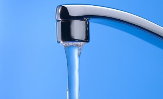
USGS Studies Reveal Why Drinking Water Wells are Vulnerable to Contamination
All water wells are not created equal. And not all aquifers are the same.
The risk factor for contamination in water wells is quite variable, as a new USGS study reveals.
Water from nearly one in five public-supply wells in the United States might need to be treated or blended with more dilute water sources to decrease concentrations of drinking-water contaminants before delivery to the public.
Of particular concern is recent evidence that existing water-treatment systems do not effectively remove some contaminants now being found in groundwater. Even when effective water-treatment technologies exist, it is especially difficult for small system operators to implement such technologies because their small customer base might not be able to cover the costs.
The role that water resource development (drilling and pumping of new wells) and well operation play in public-supply-well water quality also has been unclear.
Study-team scientists found that to understand the quality of water pumped from individual public-supply wells one needs to understand the sources of recharge, the geochemical conditions and the groundwater-age mixture of different waters that blend (or mix) in a well.
For the full report, go to: http://pubs.usgs.gov/circ/1385/
Groundwater Depletion Continues Throughout US

In the past eight weeks two separate reports from the federal government have come out detailing the ongoing depletion of the nation’s major aquifers.
Publishing in Science Magazine, principle author James S. Famiglietti details the results of the GRACE mission (the Gravity Recovery and Climate Experiment, a joint U.S.-German satellite mission) have shown large areas of groundwater withdrawals in a global setting. The mission includes twin satellites orbiting within roughly 100 miles of each other which are constantly measuring subtle changes in the distance between them. Those changes are influenced by gravity. Because water has more mass, it exerts more gravity and will alter the satellites’ speed and their distance from one another. What they’re detecting, essentially, are changes in the distribution of water and its mass beneath the surface in a way well-by-well measurements never could.
The graphic above details the changes. The red areas are places where the groundwater is being depleted; the blue areas are where groundwater resources are being replenished. The Ogallala aquifer in Kansas and Oklahoma can be seen clearly, but what really stands out is East Texas and Louisiana, places where water shortages usually don’t make headlines.
The second study is from the U.S. Geological Survey study which documents that the Nation’s aquifers are being drawn down at an accelerating rate. Groundwater Depletion in the United States (1900-2008) is a comprehensive look that evaluates long-term cumulative depletion volumes in 40 separate aquifers. Two facts stand out from the report. First, from 2000-08 the amount of water withdrawn from the nation’s aquifers was more than twice the volume of water found in Lake Erie. Second, groundwater depletion in the U.S. in the years 2000-2008 can explain more than 2 percent of the observed global sea-level rise during that period.
Since 1950, the use of groundwater resources for agricultural, industrial, and municipal purposes has greatly expanded in the United States. When groundwater is withdrawn from subsurface storage faster than it is recharged by precipitation or other water sources, the result is groundwater depletion. The depletion of groundwater has many negative consequences, including land subsidence, reduced well yields, and diminished spring and stream flows.
One of the best known and most investigated aquifers in the U.S. is the High Plains (or Ogallala) aquifer. It underlies several states, including Texas, Oklahoma, and Kansas. The study shows that, since 2000, the rate of depletion of the High Plains aquifer has not changed – the water table continues to decline at a high rate.
“[There is a] very dire situation that we face right now in the United States that, frankly, I don’t think many people recognize,” Famiglietti, director of the UC Center for Hydrologic Modeling at the University of California, Irvine, told Scientific American. “I’m talking about the very rapid rates of groundwater depletion.”
